Atlas of the USA of the 19th century, intended for the blind (5 photos)
In 1835, the New England Institute for the Education of the Blind (now Perkins School for the Blind) purchased a printing press. Under the direction of first director, Samuel Gridley Howe, the device was modified in such a way way to print embossed font. This allowed the blind and visually impaired people to read without assistance. 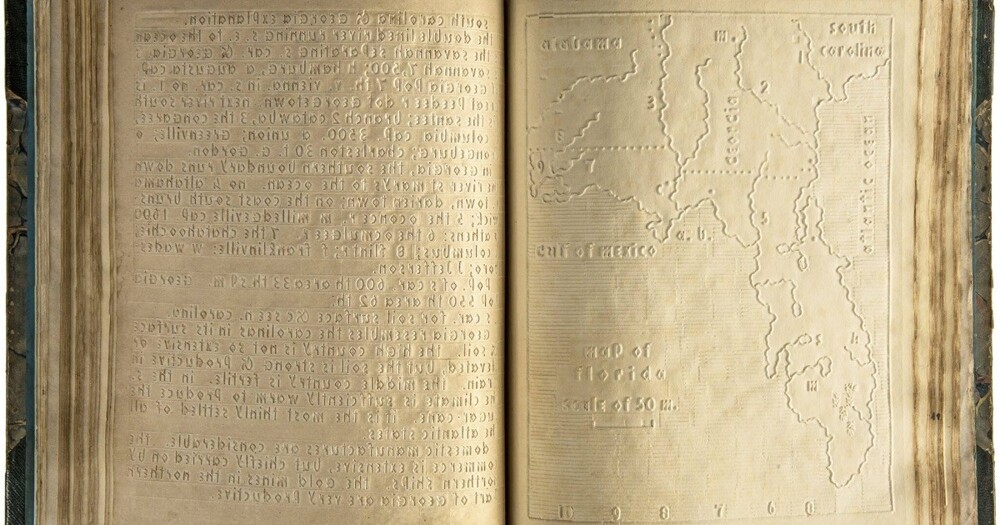
Howe wanted his students not to suffer from inequality and were not considered pathetic. Having studied European tactile printing systems, he developed the Boston Line Type, an embossed Latin alphabet that can be was to be read with fingers. There were no flourishes or capital letters in it, but reading it took a lot of practice. Howe estimates that reading such a text took three times longer than a sighted person to read the equivalent amount of traditional printed text. 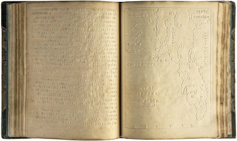
Ultimately, this system turned out to be much less more comfortable than braille. It should be noted that Braille been used in the UK and France for decades before which is widely used in the USA. And only he allowed people with visual impairments to read and write tactilely. 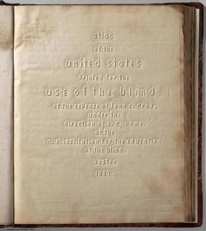
The school used its printing press to publish books on history, grammar and spelling, as well as the New Testament and the complete Bible. Charles Dickens paid for 250 copies of The Shop Antiquities" in Boston Line Type for distribution among blind Americans. 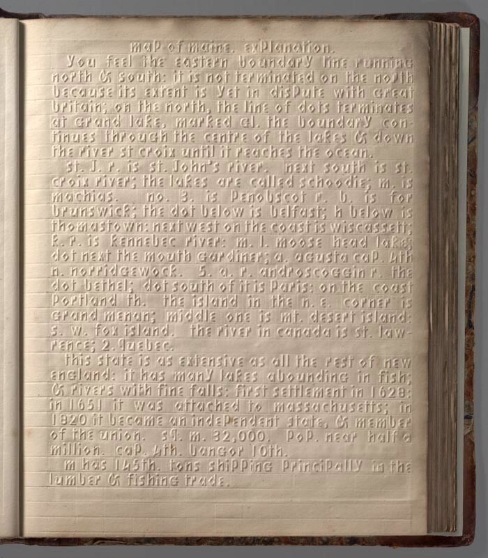
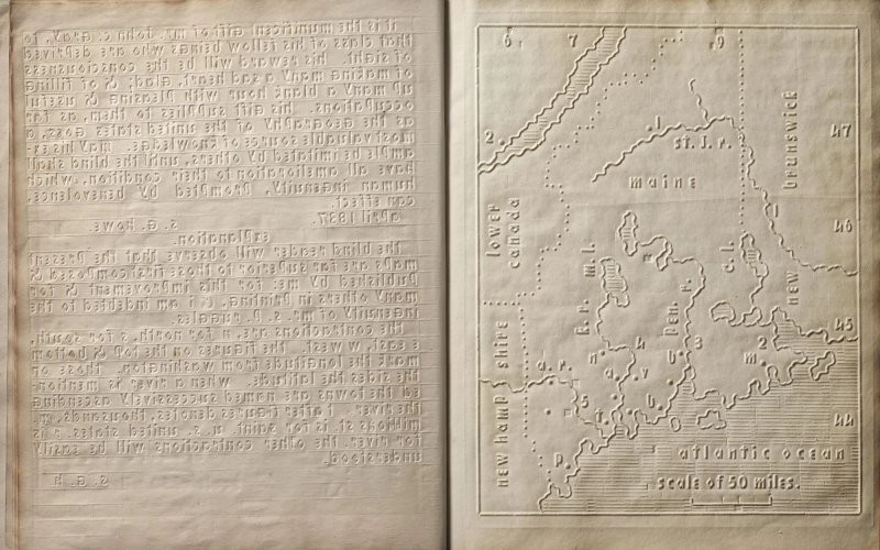
In 1837, an atlas of the United States was published for students of geography. Despite the large amount of text, it contained relief maps with outlines of each state. Rivers are depicted as solid lines, and oceans - parallel lines. A series of triangles signified mountains. The longitude, latitude and location of cities were also noted.
A total of 50 copies were produced, four of which have survived. 