Surfers from all over the world ride the global wave caused by El Niño (22 photos + 1 video)
Typically, when we think of El Niño, we think of the weather events associated with it. But this incredibly powerful climate phenomenon has some other consequences that may be of benefit to some. Namely, for avid surfers. 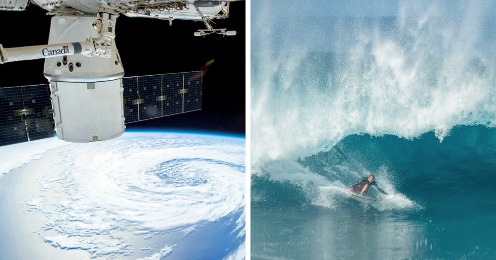
After an El Niño storm swirled over Japan, Surfline's team of forecasters made a surprising discovery: the storm intensified again and continued to move across the globe until it reached the coast of Portugal 2 weeks and 19,000 km later.
El Niño has created a giant ocean storm that has delighted surfers around the world. 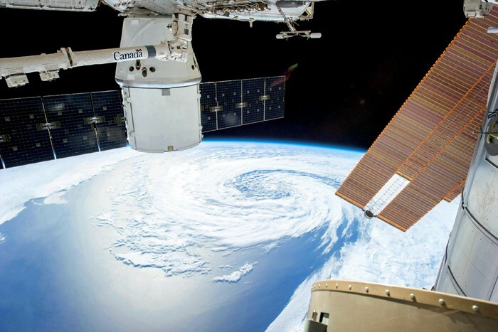
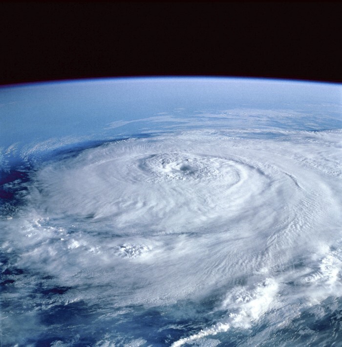
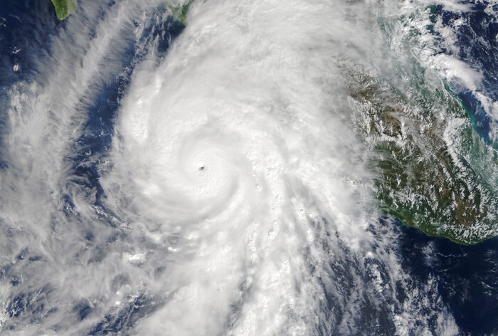
Before we learn more about the sensational discovery made by the Surfline forecasting team, let me say a few words about El Niño. This is a climate phenomenon associated with abnormal warming of surface waters in the central and eastern parts of the Pacific Ocean, which occurs every 2-7 years and lasts from 9 to 12 months.
This phenomenon was recognized by fishermen living off the coast of Peru as the appearance of unusually warm water. Researchers have no reliable data on what native Peruvians called this phenomenon, but Spanish immigrants called it El Niño, which means “little boy” in Spanish. Over time, the name came to refer to irregular and intense changes in climate, rather than simply warming of coastal surface waters. 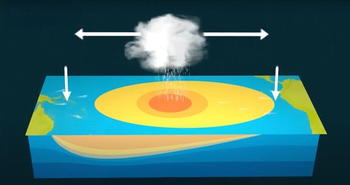
El Niño events are defined by large-scale, long-lasting climate anomalies/patterns that are related to each other and can affect much of the globe. During El Niño, trade winds blowing from the west weaken along the equator. These changes in air pressure and wind speed cause warm surface water to move east along the equator, from the western Pacific Ocean to the coast of northern South America.
Each El Niño event occurs differently, so global impacts may vary. It usually peaks around Christmas and lasts for several months.
The El Niño events of 1982-83 and 1997-98 were the most intense in the 20th century. During the 1982-83 event. sea surface temperatures in the eastern tropical Pacific were 7.8 to 12.8° C (9 to 18° F) above normal.
Scientists collect data about El Niño using a variety of technologies. For example, the US National Oceanic and Atmospheric Administration (NOAA) operates a network of scientific buoys. These buoys can measure ocean and air temperatures, currents, winds and humidity. The buoys are located at about 70 locations in the South Pacific, from the Galapagos Islands to Australia.
They transmit data daily to researchers and forecasters around the world. Using data from buoys, as well as visual images from satellites, scientists can more accurately predict El Niño and visualize its development and impact across the globe.
El Niño's influence on climate 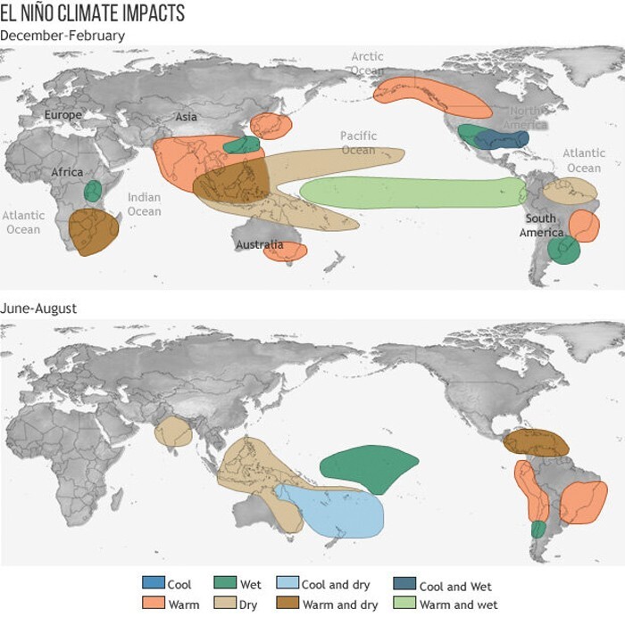
El Niño pattern in winter 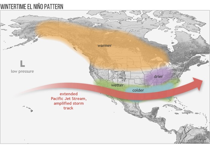
Comparison of El Niño events 1985–1993. and 2023-2024, difference compared to average temperature 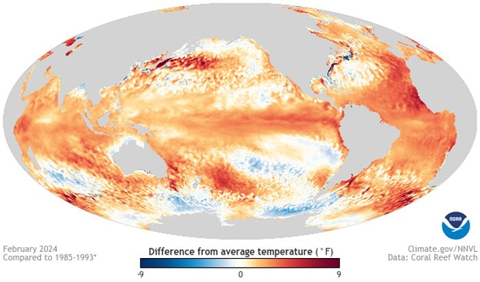
Weekly surface water temperatures in the tropical Pacific (30 October 2023 - 7 January 2024), comparison with average temperatures 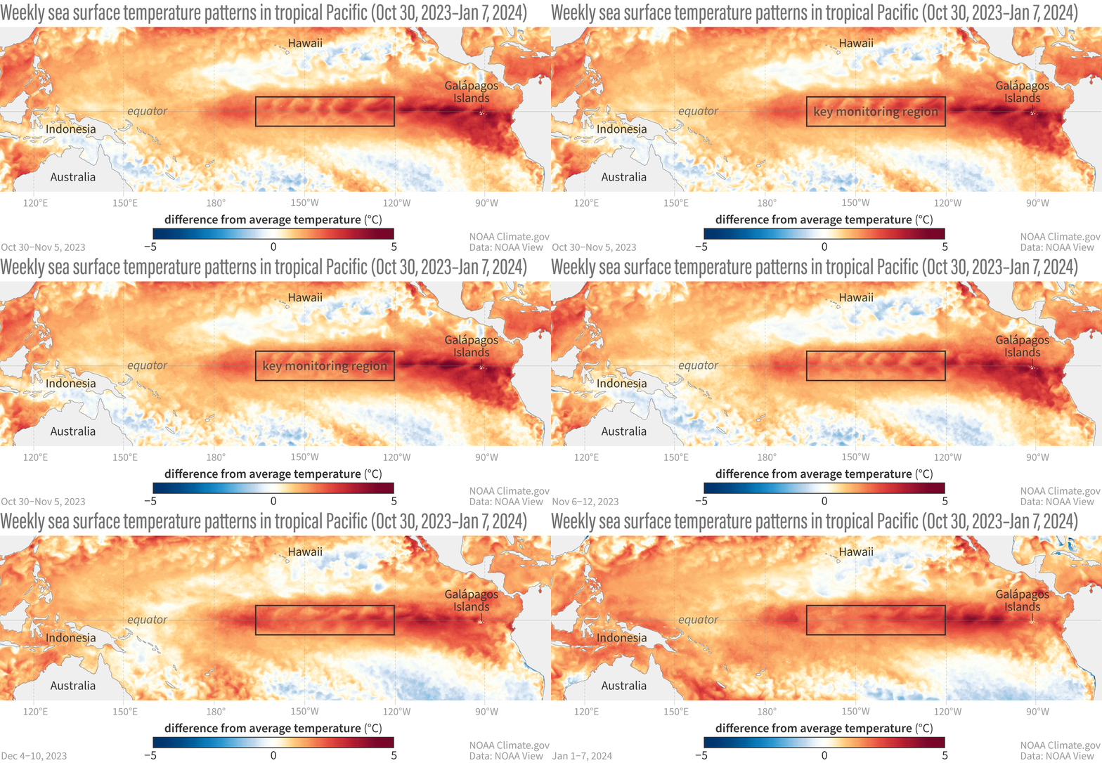
Following the work of Sir Gilbert Walker in the 1930s, climate scientists established that El Niño occurs simultaneously with the Southern Oscillation.
The Southern Oscillation is a change in atmospheric pressure over the tropical Pacific Ocean. When coastal waters in the eastern tropical Pacific become warmer (El Niño), the atmospheric pressure over the ocean decreases. Climatologists define these interconnected phenomena as the El Niño-Southern Oscillation (ENSO). Today, most scientists use the terms "El Niño" and "ENSO" interchangeably.
ENSO includes warm (El Niño), cold (La Niña) and neutral phases:
Neutral: Easterly trade winds cause deep, relatively cool, nutrient-rich waters to rise to the surface along the coast of Peru and along the equator. Sea surface temperatures in the tropical Pacific are within +/- 0.9°F of normal;
El Niño: Easterly trade winds weaken. Rising ocean currents along the coast of Peru and along the equator are weakening. Surface waters in the tropical Pacific are warmer than normal;
La Niña: Easterly trade winds strengthen. Strong upwelling of cold ocean currents along the equator and coast of Peru maintains warm surface waters in the western Pacific Ocean. Surface waters in the tropical Pacific Ocean are colder than normal. 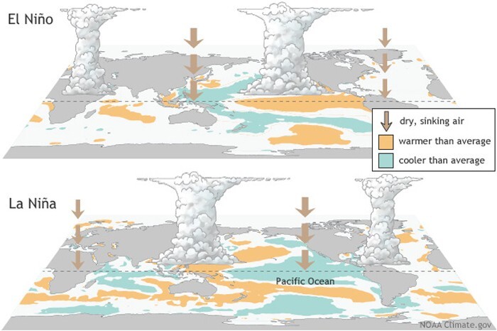
It is also important to note that in 2023-24, El Niño peaked and became one of the five strongest on record, bringing with it not only huge ocean waves across the globe, but also a huge heat wave. There is a 90 percent chance that average global surface temperatures will reach a record high, meaning this year could surpass 2023 as the hottest on record, according to new research.
However, from a surfing perspective, El Niño is generally a very good thing because it means more ocean activity, more storms and more waves.
A recent discovery by the Surfline forecasting team is about just that. They shared a video of how El Niño storms turned the entire world into one big surfing destination.
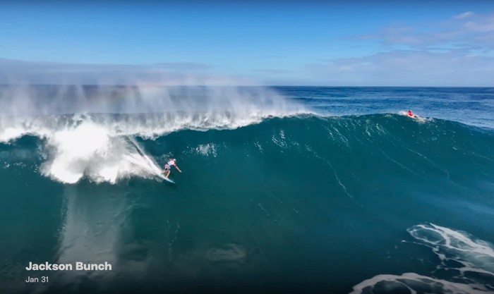

“Pumping in Hawaii, fun surfing in the South Bay, in the Gulf. Then you go to Europe and there are just tons of waves there too. A storm that can remain unscathed, travel long distances, and deliver surf in a variety of locations is truly special,” the Surfline team said.
“This perpetual storm made a roughly two-week journey across the Pacific, North America and the Atlantic, sending waves to nearly every coastline this side of the equator.”

Surfers around the world rode the same wave created by El Niño
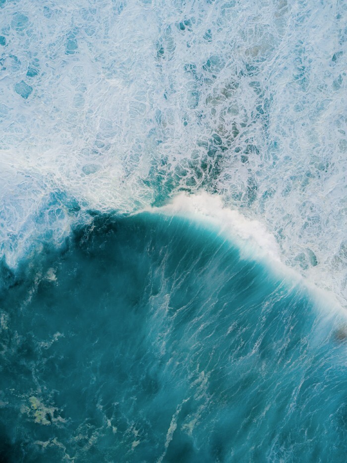
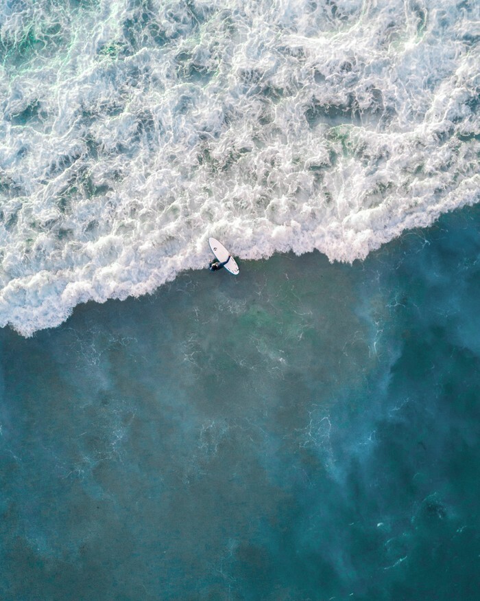

The storm was first noticed as it moved away from Japan towards the Hawaiian Islands, and at the beginning there were some good 2-3 meter waves. Then it weakened a little, and then, when it reached the west coast of the United States, it became deeper and stronger.
El Niño pushed the storm further and opened up the potential for stronger and westerly waves for Southern California. The storm then moved into the Gulf of Mexico, passing through Texas and the northern Gulf of Mexico, causing surf in northern Florida along the way. Then he moved to the Atlantic. From there, the storm simply continued to move across the Atlantic, and the fact that it crossed two oceans and remained virtually unscathed is truly amazing.
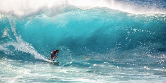
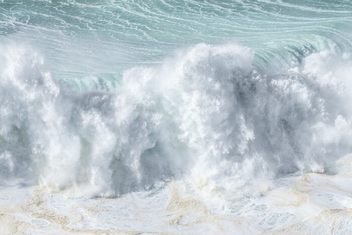
However, stormy conditions are definitely more suitable for an experienced surfer.
Here are a few places with the biggest waves - for those looking for the most thrill:
- Nazare, Portugal: the largest waves on Earth - up to 26 meters.
— Peahi, Maui: Some of the biggest waves in the world, but also the most perfect.
- Bank of Cortez, California Reef: Huge open ocean waves with three distinct peaks to choose from.
— Mavericks (California): powerful, heavy waves.
— Puerto Escondido, Mexico: Perhaps the most consistent spot for big wave surfing
— Wiamea, Hawaii: Known for Eddie Aikau's legendary big wave surfing competition.
— Teahupoo, Tahiti: Waves crash onto a shallow reef, creating perhaps the harshest waves in the world.
— Cloudbreak, Fiji: riding waves up to 400 m long.
— Mullaghmore, Ireland: Some of the heaviest waves on Earth.
— Belharra, France: huge, chunky waves that break at great depths.
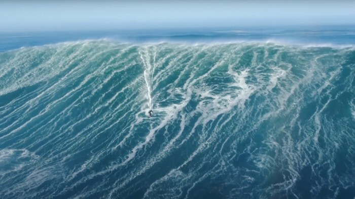
Here are some of the most beautiful places to catch waves:
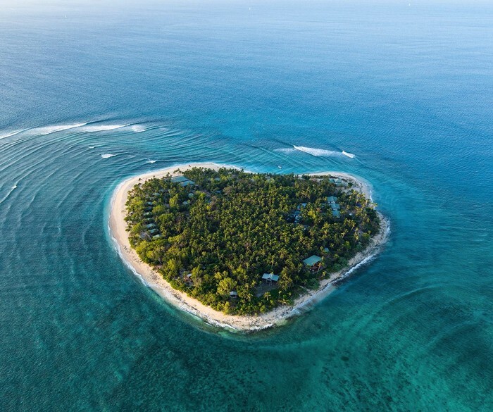
— Tavarua, Fiji
— Crescent Head, Tasmania, Australia
— Playa Grande, Rio San Juan, Dominican Republic
— Fernando de Noronha, Pernambuco, Brazil
— Waikiki Beach, Hawaii, USA
— Malibu, California, USA
— White Beach, Okinawa, Japan
— Bloubergstrand, South Africa
— Santa Barbara, Azores, Portugal
— Praia do Norte, Nazaré, Portugal
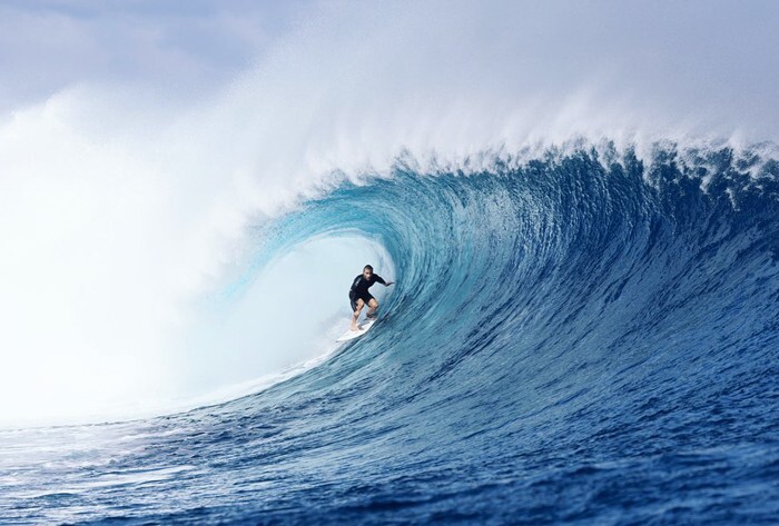
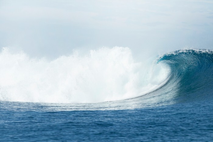
While scientists are trying to tame El Niño and fear serious global warming, in surfing it's a little different: the bigger the wave, the more fun it is to ride it. And, of course, stormy weather is perfect for this.


