The Sunken City of Pavlopetri (7 photos)
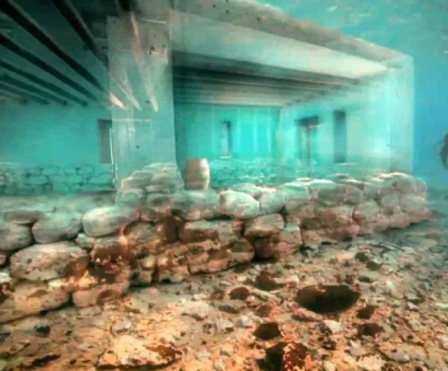
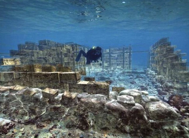
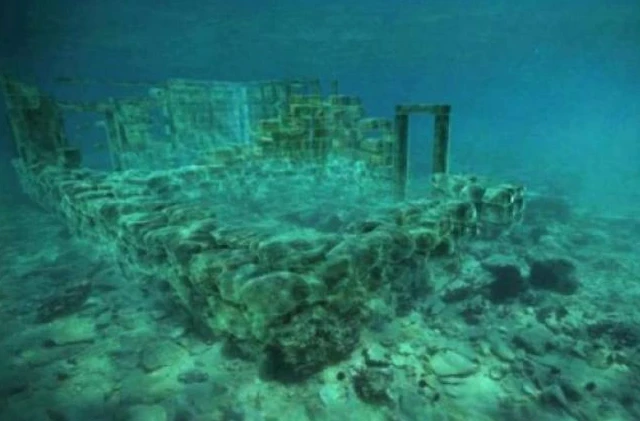
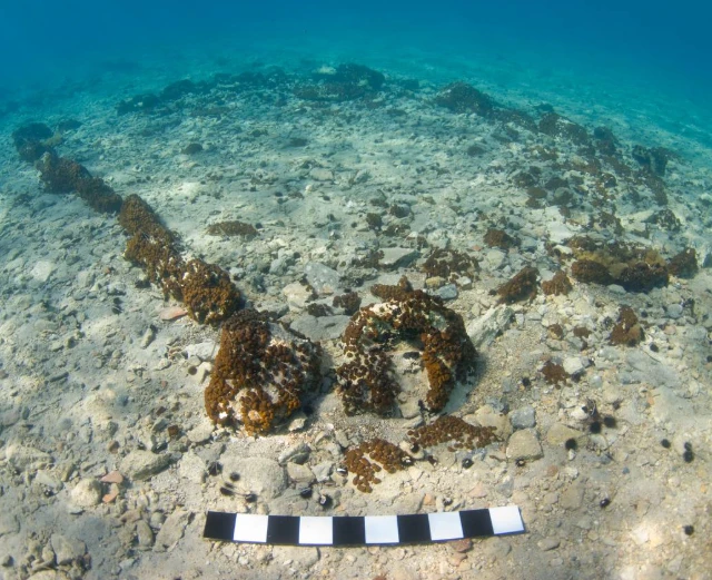
Scientists believe the city was submerged around the 10th century BC. The likely cause of the flooding is a series of strong earthquakes and a gradual rise in sea level, which altered the coastal topography. Despite the settlement disappearing underwater thousands of years ago, many of its elements have survived in remarkably good condition. This allows researchers to study the architecture, urban layout, and lifestyle of ancient people with virtually no distortion.
Pavlopetri also became the first known ancient city to be fully explored using modern 3D sonar scanning technology. Using this method, specialists were able to create a detailed digital map of the underwater streets, neighborhoods, and buildings. Research has shown that even in the Bronze Age, the city had a clearly defined layout with roads, residential areas, and infrastructure, including a complex drainage system. These findings provide important insights into the development of early urban civilizations in the Aegean region.
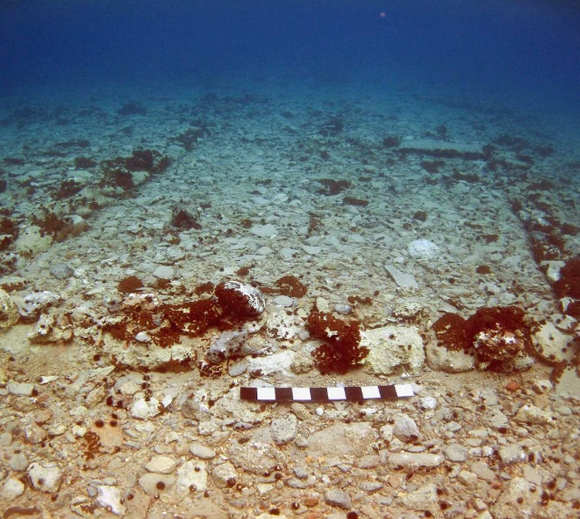
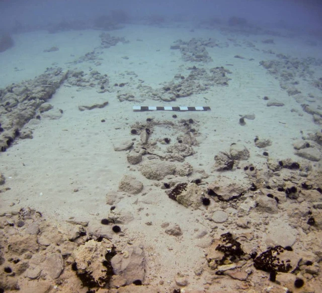
Today, the ruins of Pavlopetri are located at a depth of only about 3-4 meters, making them visible even from the surface of the water. Tourists often observe the ancient city while snorkeling or from boats sailing over the clear waters. To protect this unique monument, it is included on the World Monuments Watch list, which draws attention to the preservation of historically significant sites. Scientists and archaeologists continue to study the site, considering it one of the most important sources of knowledge about human life during the Bronze Age.