Last week, NASA released stunning images of the Sarychev Peak volcano eruption, taken by astronauts aboard the International Space Station (ISS). These images inspired The Boston Globe's photo blogger to create a collection of images from NASA's archives.
The photographs collected here include not only images of Sarychev Peak, but also other images taken by astronauts aboard the ISS over the past few months. 
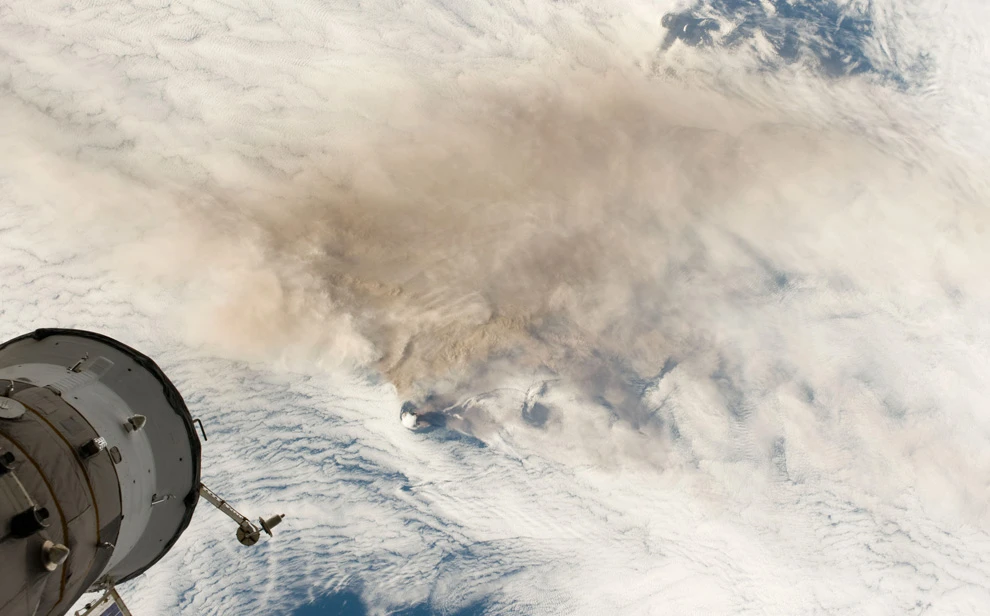
1) Cosmonauts aboard the International Space Station (ISS), flying over the Kuril Islands in low orbit, can see the beginning of the eruption of Sarychev Volcano (smoke column in the center, left) on Matua Island on June 12, 2009. Part of the ISS, the Soyuz module, is visible in the foreground. (NASA/JSC) 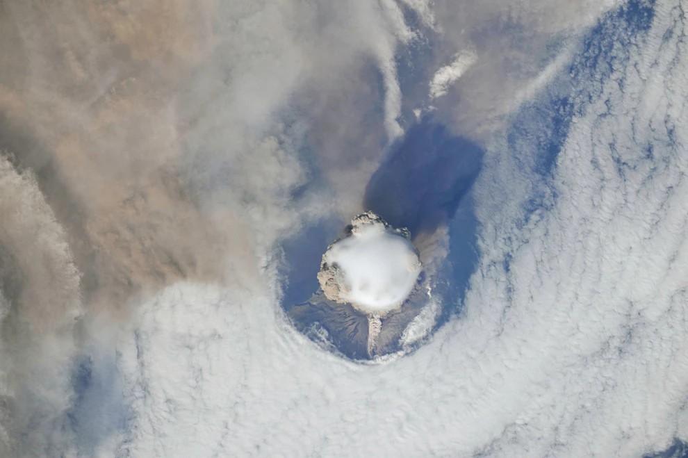
2) A view of Sarychev Volcano's peak, showing more detail, a round hole in the clouds around the island, and a smooth condensation cloud. (NASA/JSC) 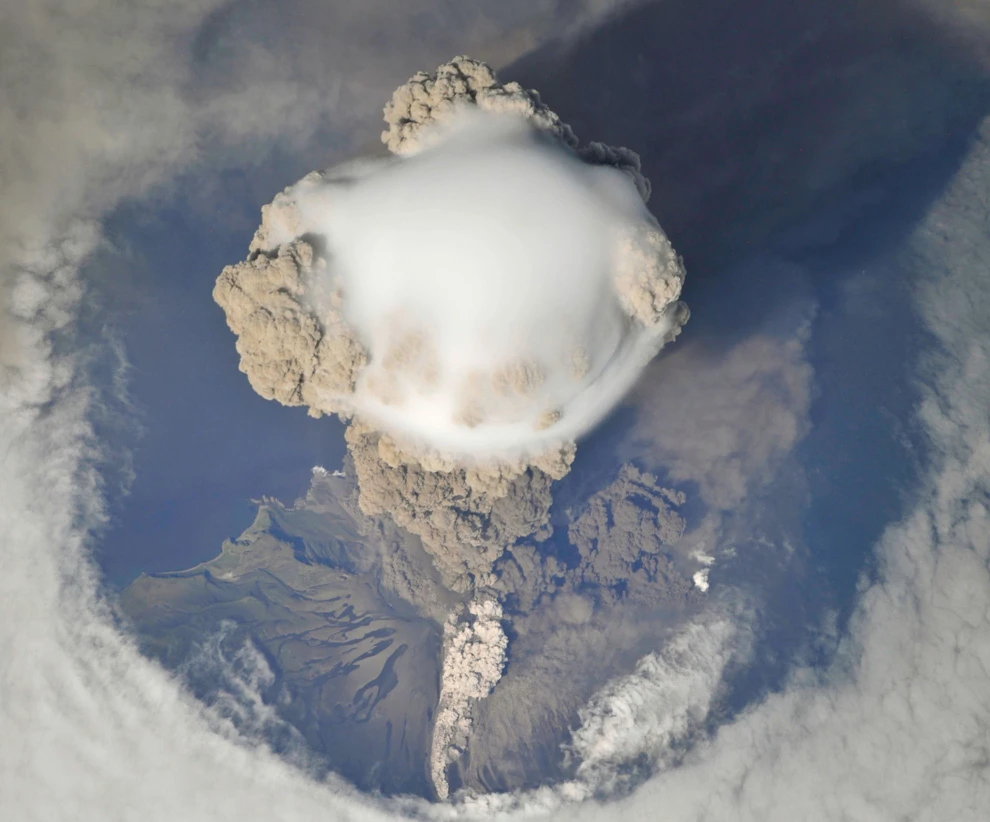
3) An even closer view of Sarychev Volcano's peak, showing pyroclastic flows (a mixture of hot gas, ash, and rock formed during a volcanic eruption) flowing down the slope (lighter clouds, bottom). (NASA/JSC) 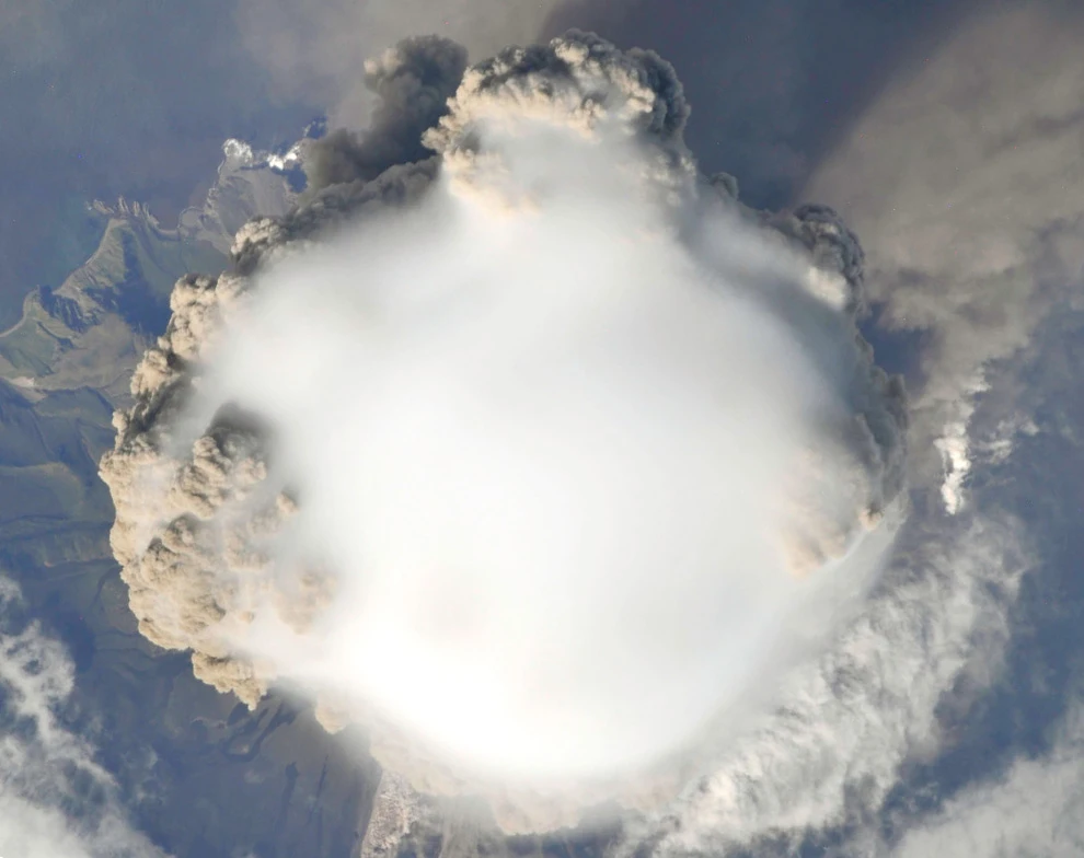
4) A view straight down onto the upper part of the ash plume from the Sarychev Peak volcano eruption on June 12, 2009. There was almost no wind that day, and the ash plume rose straight up, barely fanned. (NASA/JSC) 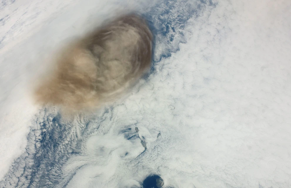
5) A day after the eruption, which can be seen in the photo above, ash from the volcano mixed with surrounding clouds, creating ripples. (NASA/JSC) 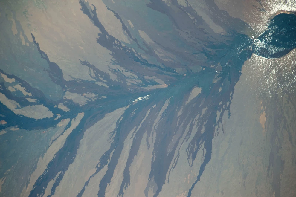
6) Lava flows from the erupting Mauna Loa volcano in Hawaii (356 km) (NASA/JSC) 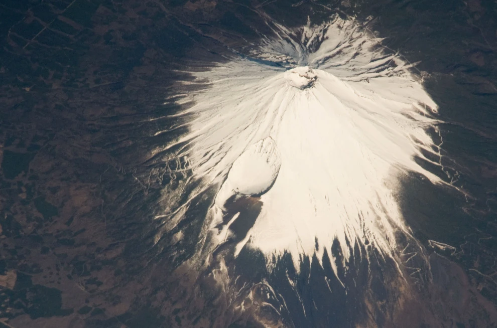
7) View of Mount Fuji. (NASA/JSC) 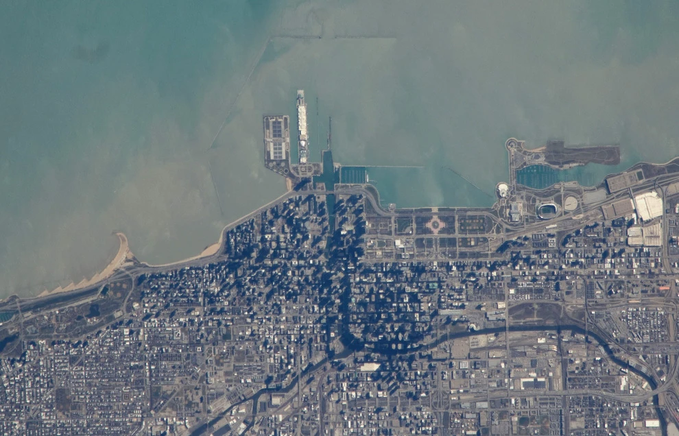
8) View of Chicago from the shoreline of Lake Michigan. (NASA/JSC) 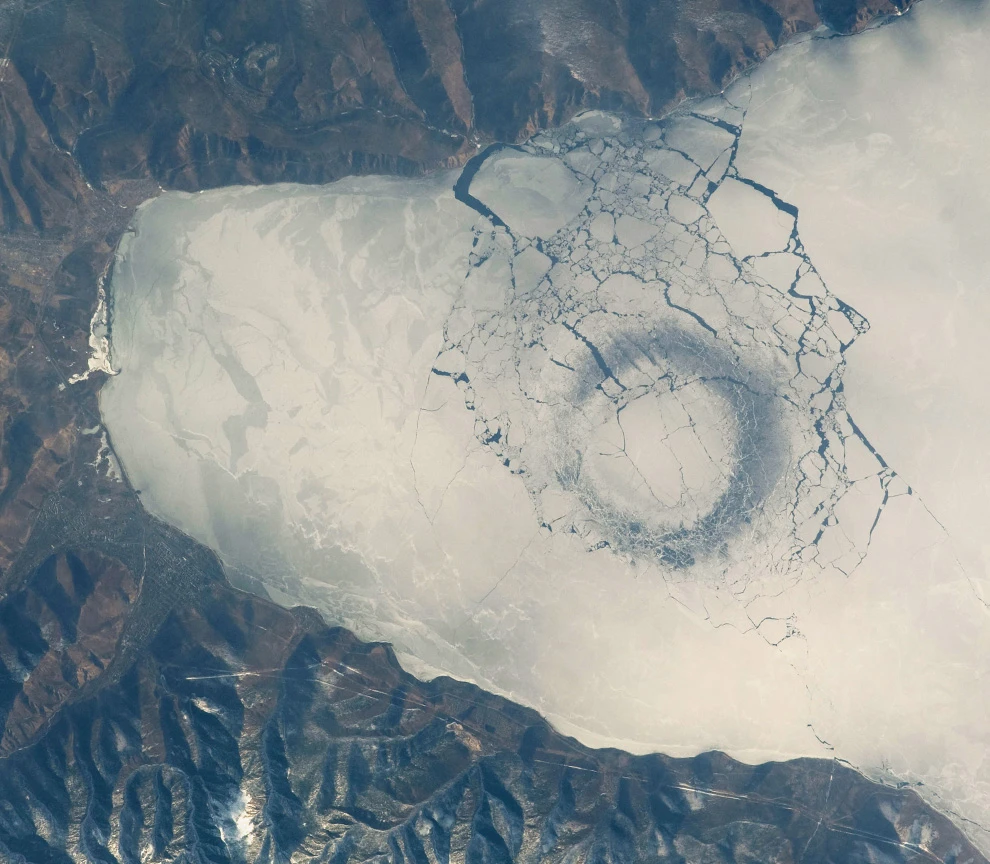
9) A strange circle on melting ice at the southern end of Lake Baikal. Although the circle's origin is still unknown, it is believed to be caused by the upwelling of deep waters. (NASA/JSC) 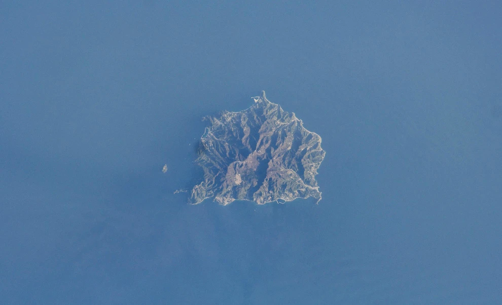
10) Ullung Island off the coast of South Korea. (NASA/JSC) 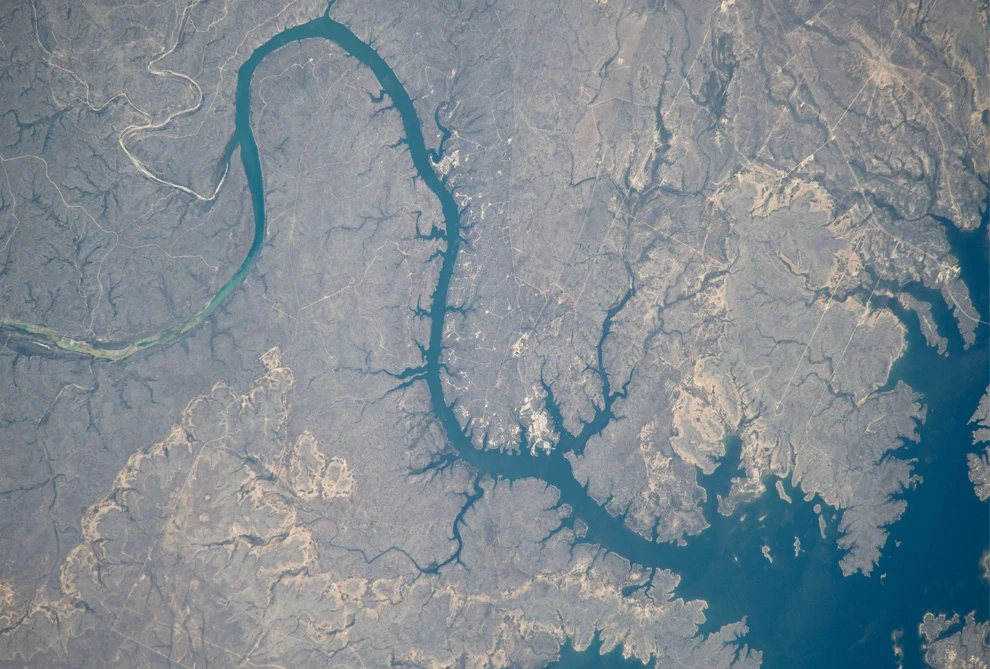
11) Part of the Amistad Reservoir in the Rio Grande, Texas. (NASA/JSC) 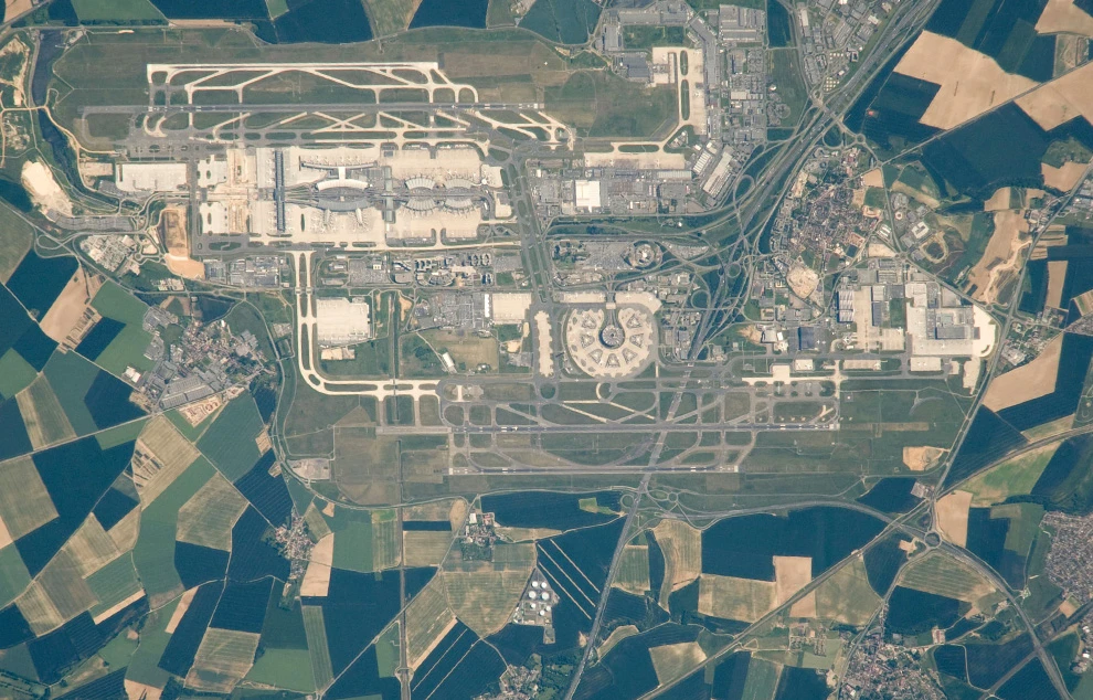
12) Charles de Gaulle Airport in the suburbs of Paris. (NASA/JSC) 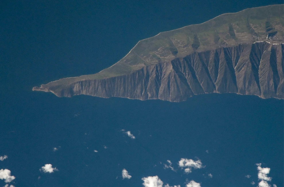
13) The Svyatoy Nos Peninsula on Lake Baikal. (NASA/JSC) 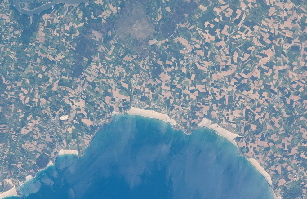
14) Beaches and agricultural area in northern Douarnenez, France. (NASA/JSC) 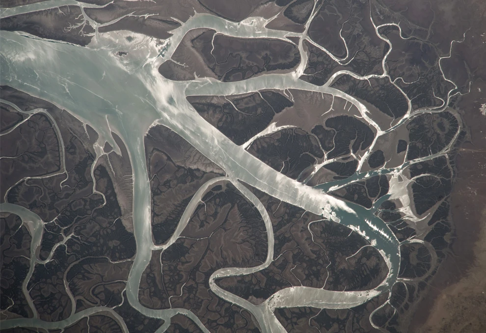
15) Tidal channels near Qeshm Island, Iran. (NASA/JSC) 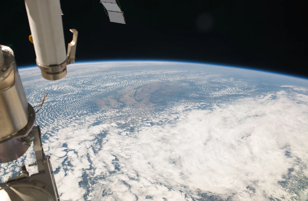
16) Earth as seen from the ISS flying over Arkansas on May 21, 2009. (NASA/JSC) 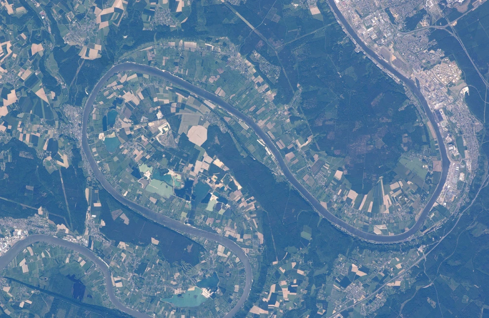
17) The Seine River, near Rouen, France. (NASA/JSC) 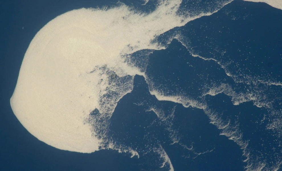
18) Ice floe in the Sea of Okhotsk (NASA/JSC) 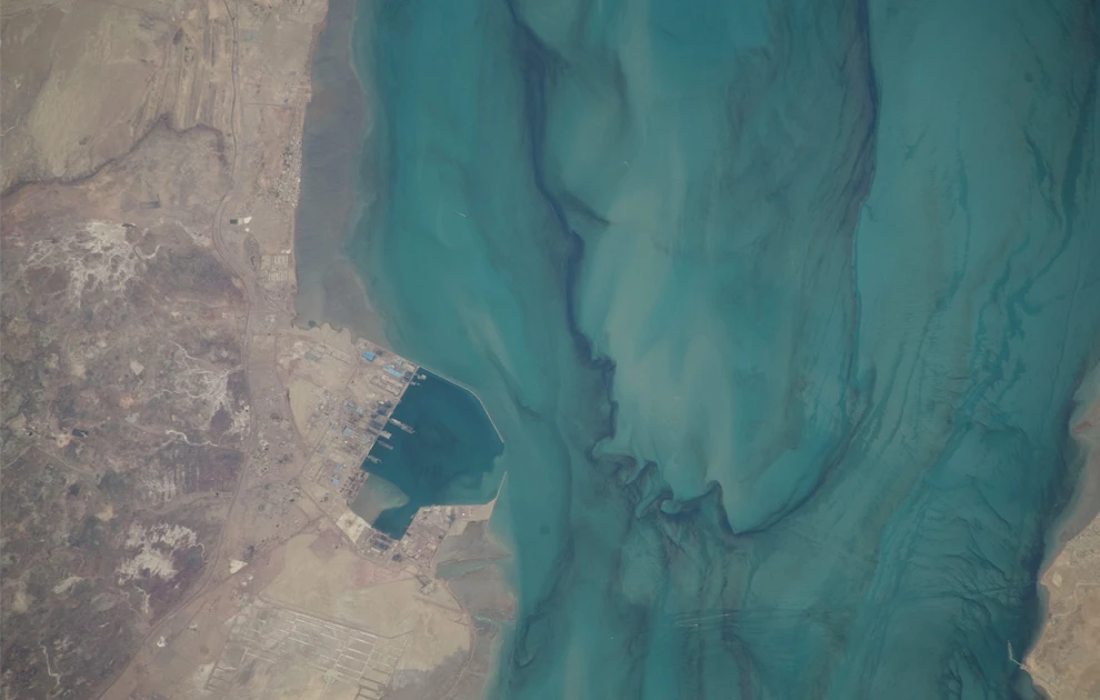
19) Port near Bandar Abbas, Iran. (NASA/JSC) 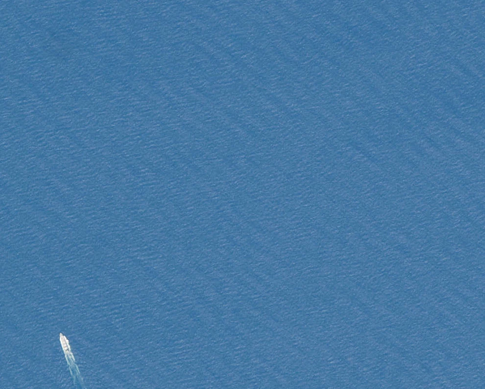
20) Ship on the waves of the Bay of Biscay. (NASA/JSC) 
21) Roads and circular fields in the Egyptian desert. (NASA/JSC) 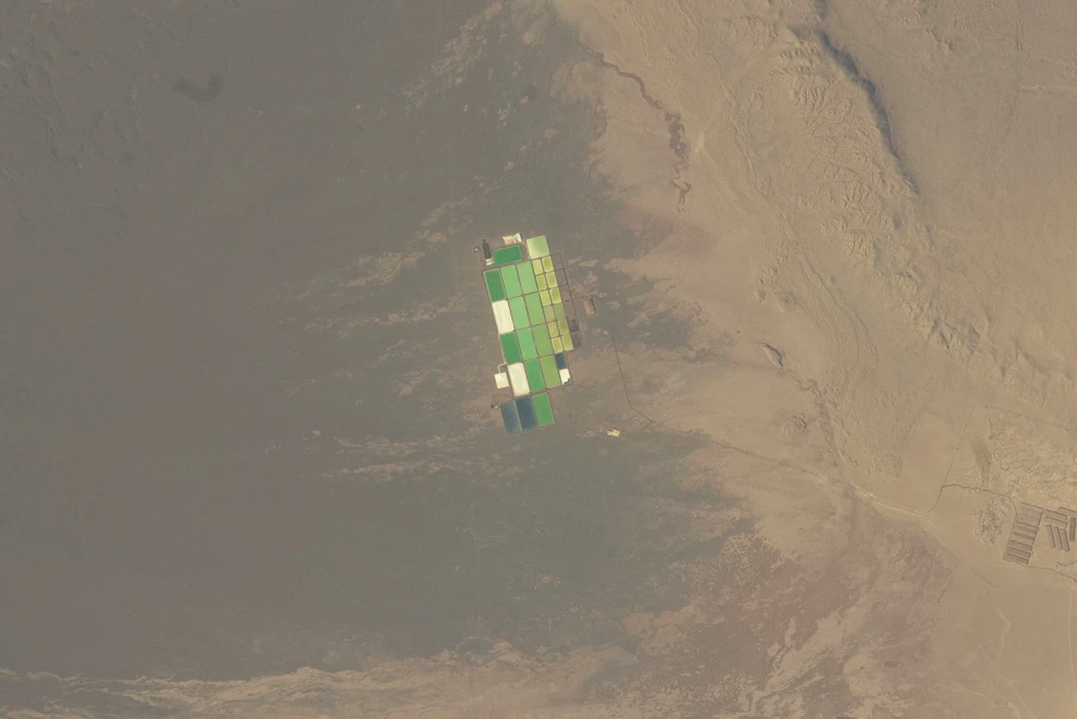
22) Evaporation ponds in Pampa del Tamarugal, Chile. (NASA/JSC) 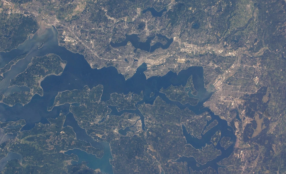
23) Part of Washington state: Vashon Island, Seattle, and Tacoma on May 29, 2009. (NASA/JSC) 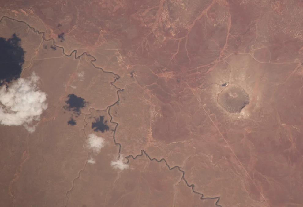
24) A few clouds in the sky over Arizona, and the Barringer meteorite crater dent on the right. (NASA/JSC) 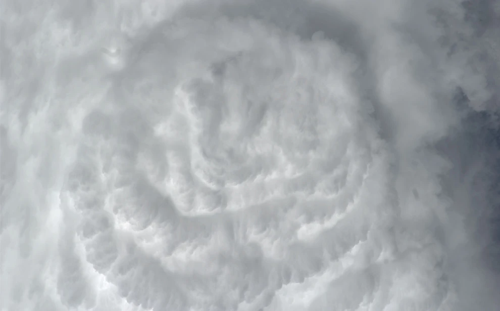
25) Convective clouds over the Atlantic Ocean. (NASA/JSC) 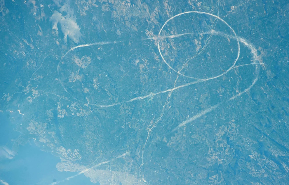
26) Airplane contrails are visible east of Lake Nipigon, Canada. (NASA/JSC) 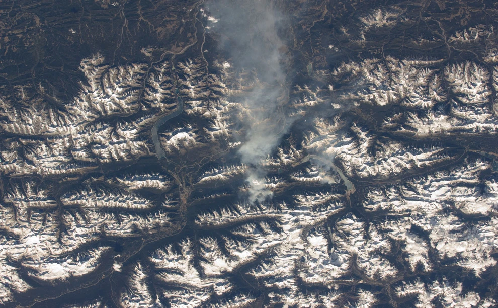
27) Smoke blows eastward off a mountainside in the Canadian Rockies. (NASA/JSC) 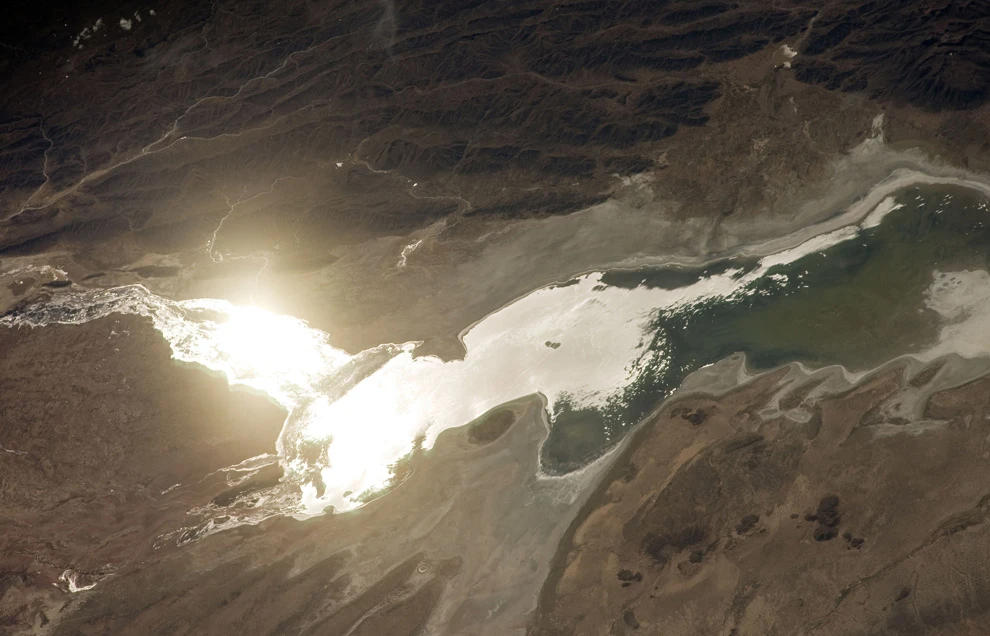
28) The sun reflects off the surface of Lake Poopó in Bolivia. This 1,000 square kilometer salt lake is located at an altitude of 3,686 meters above sea level. (NASA/JSC) 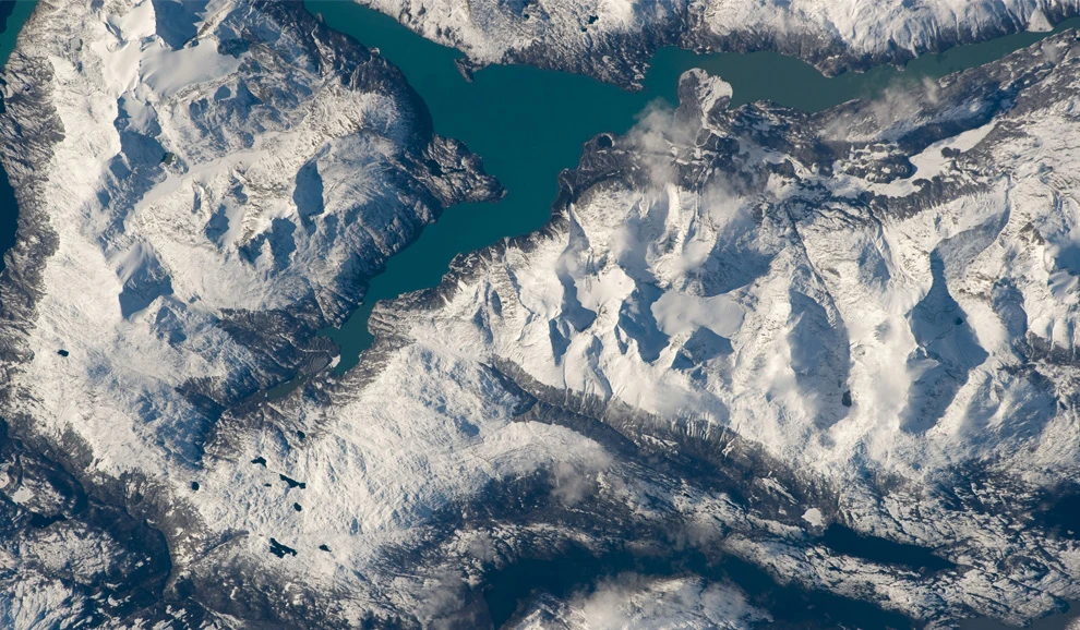
29) Lago Nansen in the Andes of Argentina. (NASA/JSC) 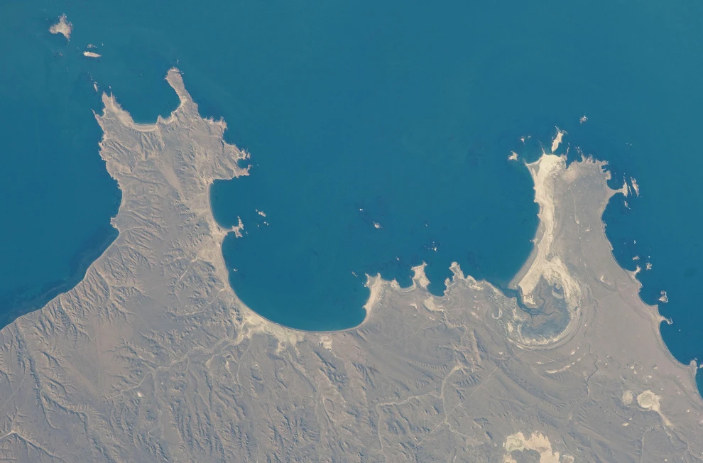
30) View of the Atlantic Ocean off the coast of Argentina. (NASA/JSC) 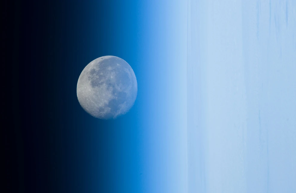
31) The waning moon over the Pacific Ocean on May 11, 2009, appears distorted as it is seen through Earth's atmosphere. (NASA/JSC) 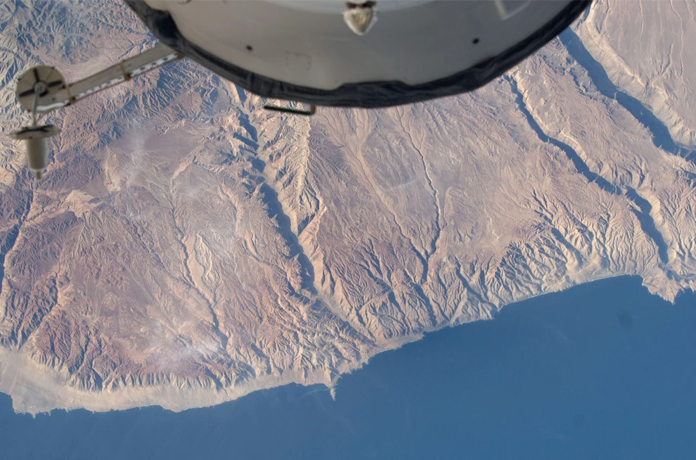
32) View of the Pacific coast near Puerto Atico, Peru. (NASA/JSC) 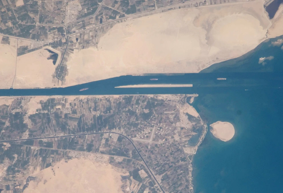
33) Ships enter the Suez Canal in Egypt. (NASA/JSC) 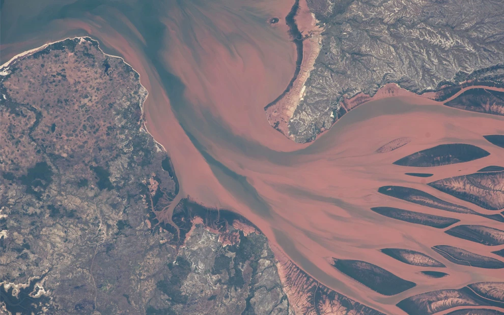
34) Betsiboka River Delta, near Mahajanga, Madagascar. (NASA/JSC) 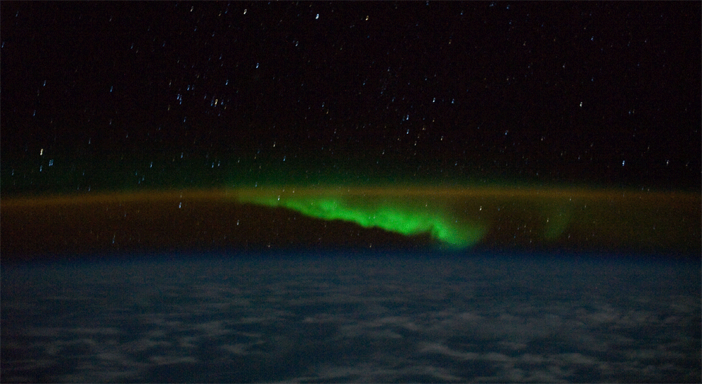
High above the Indian Ocean, astronauts captured four images (combined into one animated image, shown here) of the southern aurora borealis. (NASA/JSC)
Source: The Boston Globe
Add your comment
You might be interested in:


Female drummer impresses audience with energetic rock hit

Raven asks for help

Young woman tests the effectiveness of eyeglass retainers

Old hand-cranked corn sheller

Another reason to buy a 3D printer

A Spanish goalkeeper earned fans' respect with his actions

School cafeteria workers staged a fun *The Prodigy* cosplay

Ripe and juicy watermelon

Ostrich attacks motorcyclist in South Africa and gets
