New GeoXO satellites will provide vital information about ocean ecosystems (10 photos)
The National Oceanic and Atmospheric Administration's (NOAA) new satellite system, known as Geostationary Extended Observations (GeoXO), will expand Earth observation capabilities. Geostationary satellites will move at an altitude of 36 thousand km above the equator at the speed of rotation of the planet. 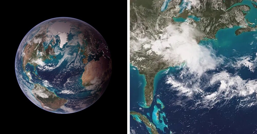
Thanks to NOAA's next-generation satellite systems, such as the GOES-R series, scientists are obtaining high-definition images of the Earth faster than ever before. As the climate continues to change rapidly, technology also needs to be updated. NOAA's GeoXO satellite system will expand its ability to observe the planet. It will address emerging environmental and weather-, ocean-, and climate-related challenges that threaten the safety and well-being of people in the Western Hemisphere. 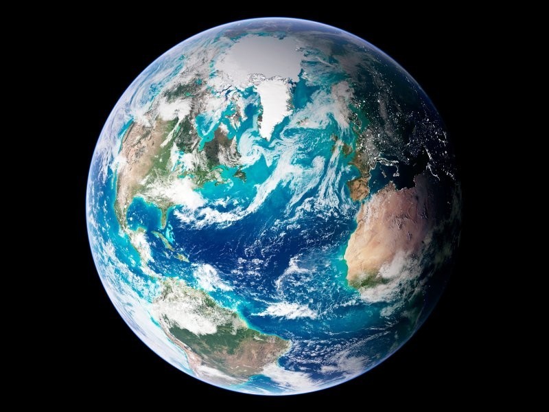
GeoXO is a joint NOAA and NASA mission 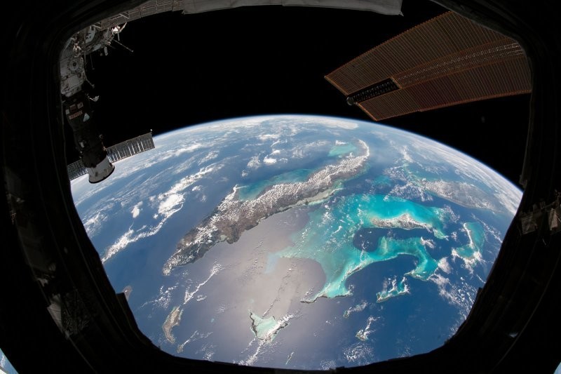
Data from GeoXO will be used for weather forecasting and to detect and monitor environmental hazards such as wildfires, drought and floods.
NOAA plans to improve its visible and infrared imagery and lightning mapping capabilities, as well as include hyperspectral sensing, atmospheric composition, and ocean color observations.
New generation satellites allow scientists to make observations that are almost impossible to make from the ground 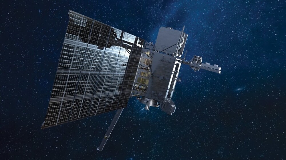
The GeoXO Ocean Color (OCX) sensor has a spatial resolution of 390 meters. It will observe the biology, chemistry and ecology of the ocean to assess its productivity, ecosystem change, and the quality of coastal and inland waters. 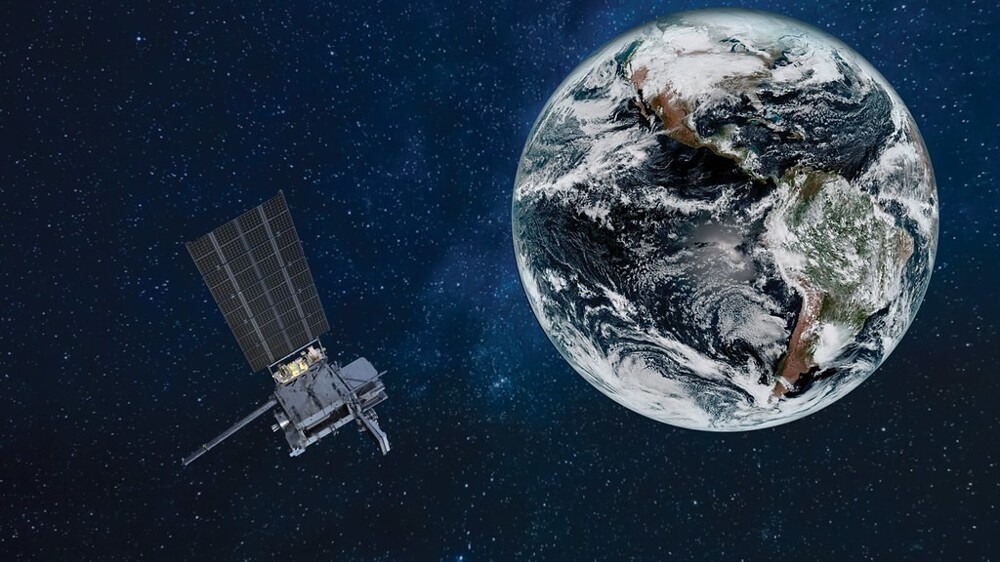
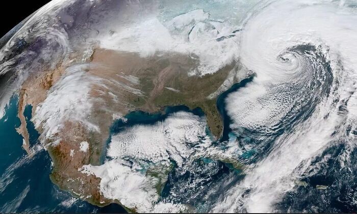
"We know that GOES-R is primarily focused on what we consider to be a weather mission. So we are planning to add a new instrument called Ocean Color (OCX) that will scan the coastal areas of the United States, as well as some of the large lakes such as the Great Lakes." lakes, it will be able to determine if there are runoff, pollution or oil spills there,” explained Pam Sullivan, NOAA GOES-R and GeoXO program director. 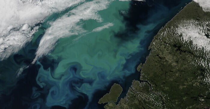
GeoXO data will allow experts to better understand environmental conditions and will complement observations from other satellites from NOAA, NASA and international partners. In this way, scientists will be able to solve emerging environmental problems, respond to the effects of climate change, and warn about severe weather conditions and environmental threats. 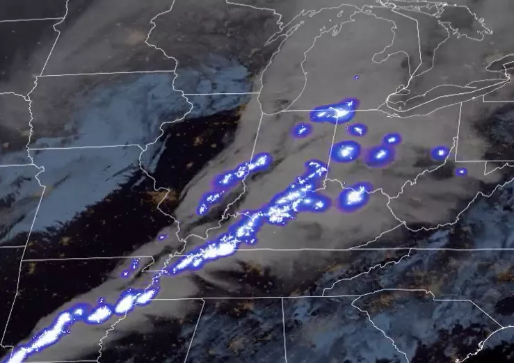
GeoXO will consist of three satellites (one over the eastern US, one over the western US, and one in between) that will replace the current GEO Operational Environmental Satellites-R (GOES-R) series of satellites. GEO-West, like GEO-East, is equipped with visible/infrared imagers, a lightning mapper, and an ocean color instrument. GEO-Central is equipped with a hyperspectral infrared echo sounder, an atmospheric composition instrument, and a payload.
GeoXO is planned to launch in the early 2030s and operate until the 2050s. 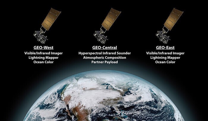
The National Oceanic and Atmospheric Administration has a rich history of successful operation of geostationary environmental satellites (GOES) and polar orbiting satellites (POES). This program has been indispensable to the United States and its partners around the world for more than 50 years. 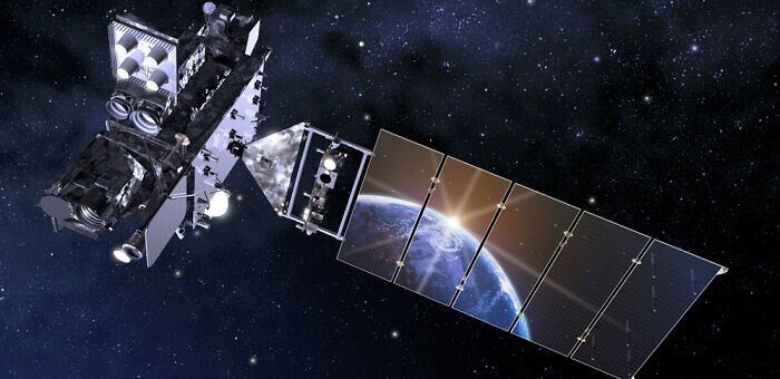
Meteorologist Harry Wexler, long before the advent of weather satellites, suggested that they would be an excellent tool both for warning people of approaching severe weather and for collecting information about the atmosphere. It was he who, in 1954, commissioned an unknown artist to draw what the satellite could capture from orbit. This happened approximately 4 years before the launch of the first American satellite, Explorer-1.


